
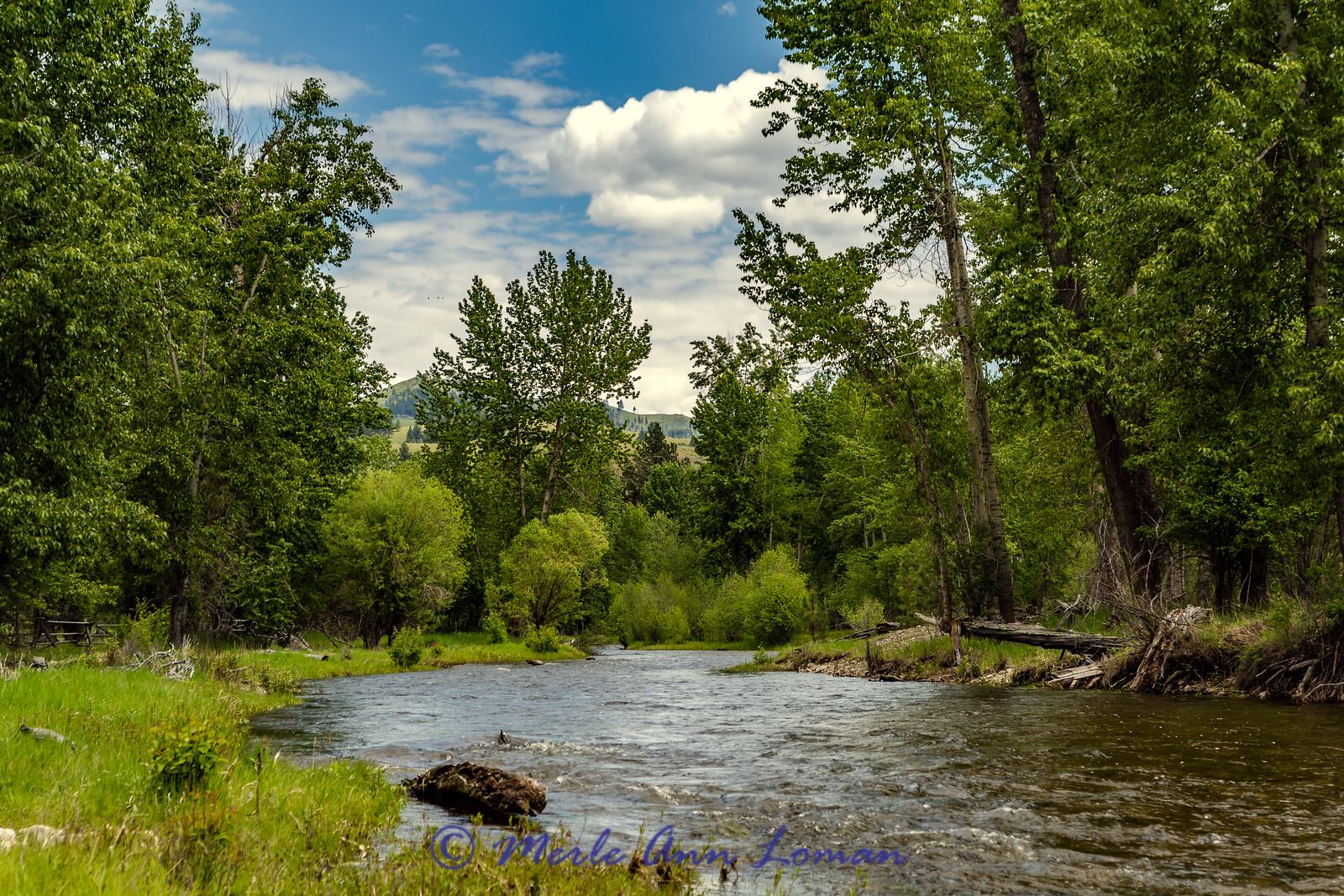
East Fork and upper Bitterroot River in late May
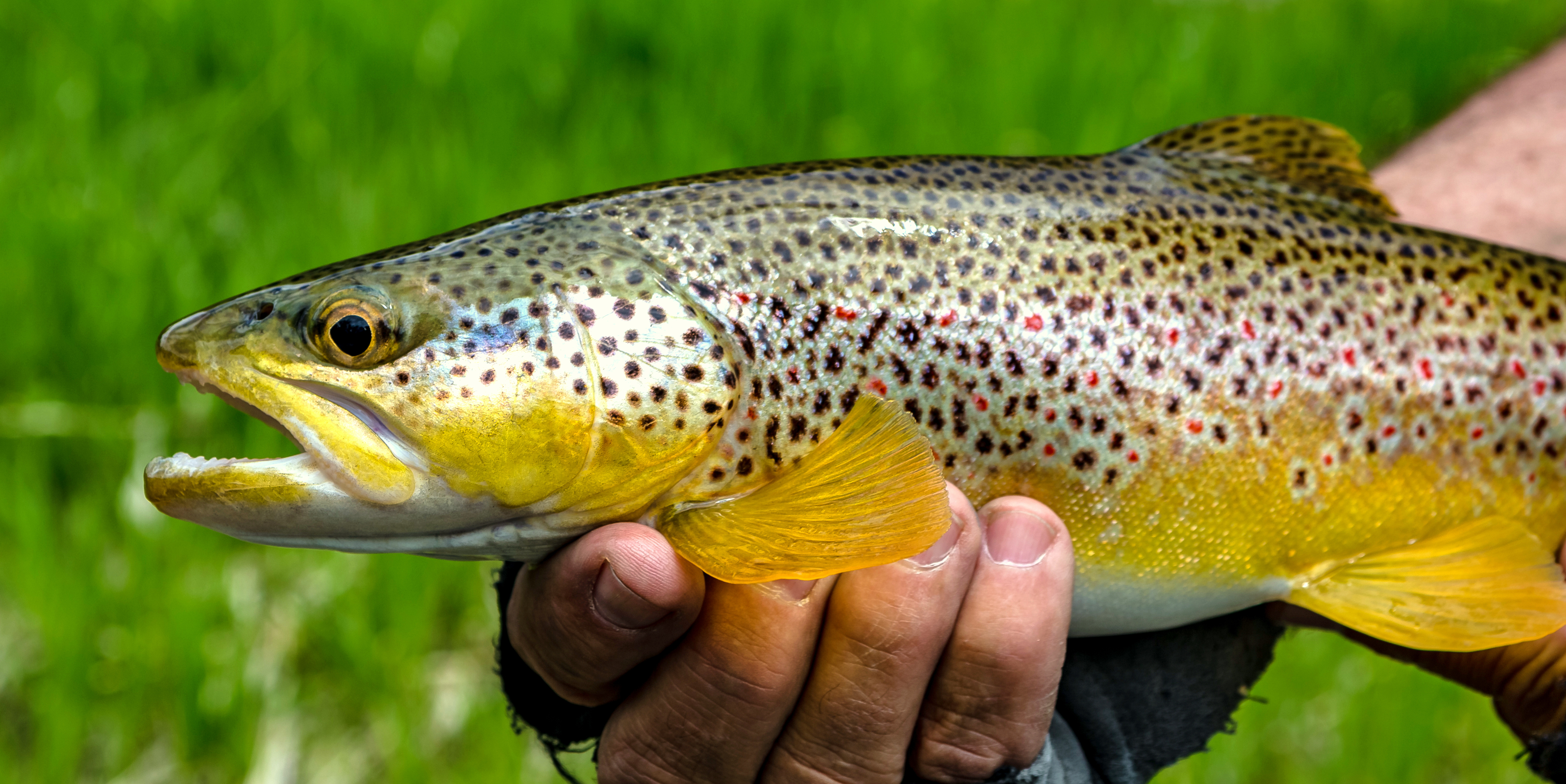
Brown Trout (Salmo trutta), non-native trout from the East Fork of the Bitterroot River May 2016 IMG_0340
Brown Trout (Salmo trutta), non-native trout from the East Fork of the Bitterroot River May 2016 IMG_0340
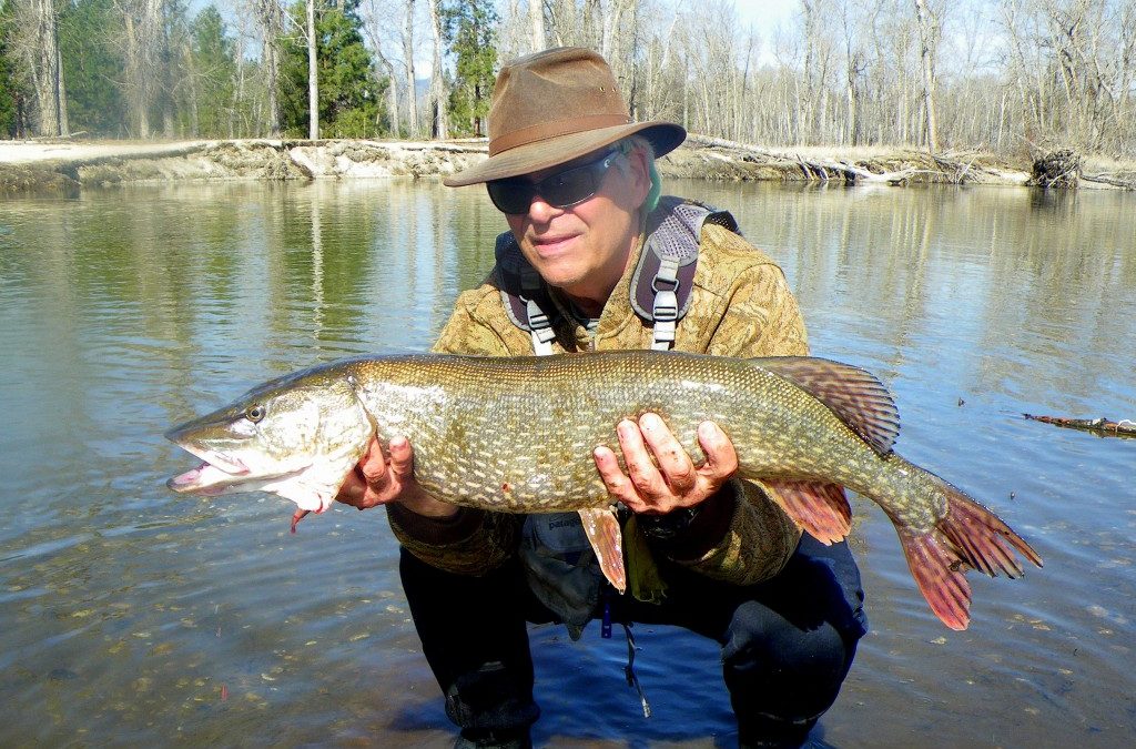
Jack Mauer caught this pike in the lower Bitterroot in mid-March 2016.
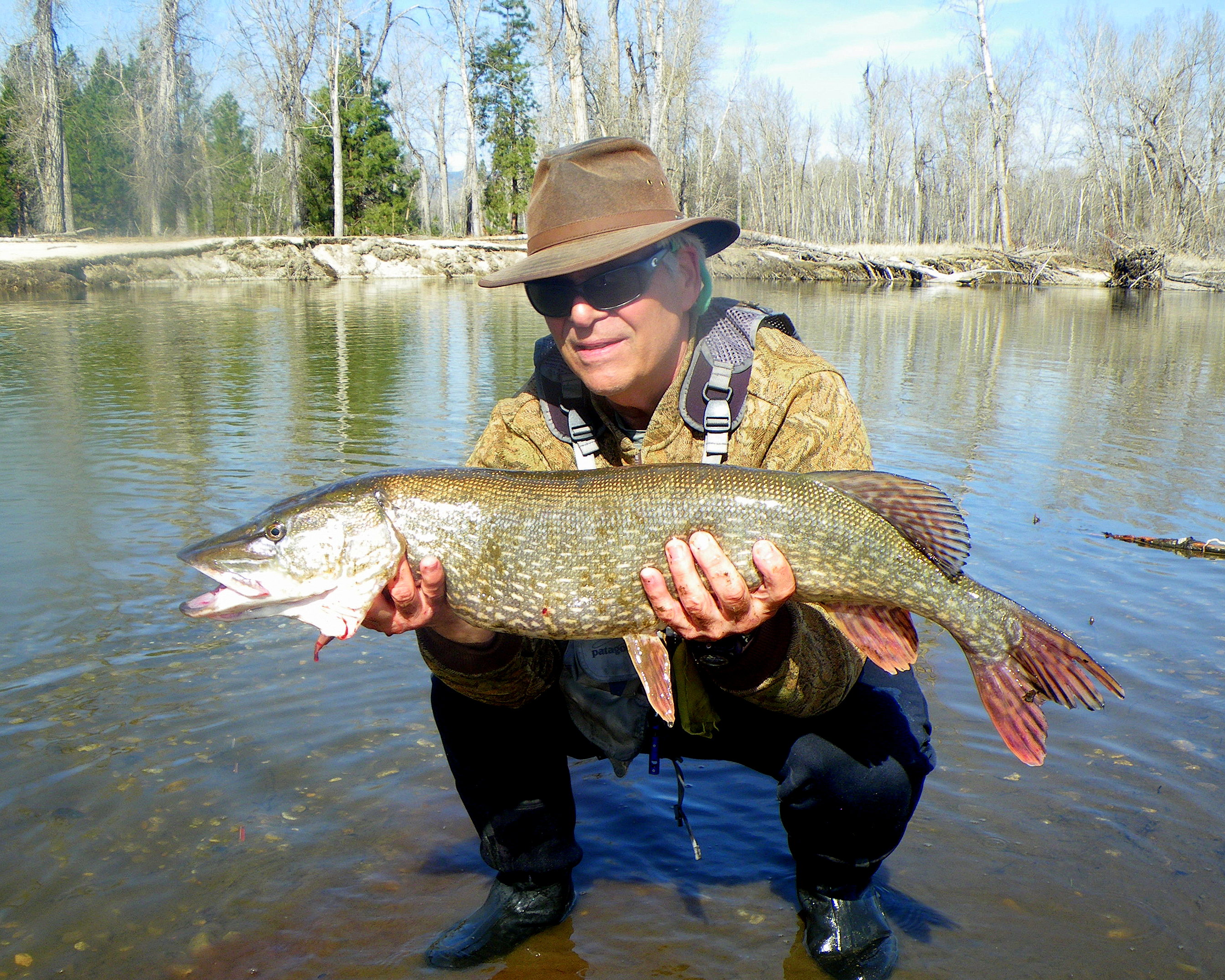
Northern Pike

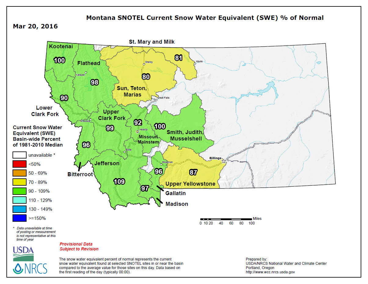
A picture says a thousand words! From streamflow data in western Montana visit our Wapiti Waters “Riverflows and Snowpack Data” page.

Gorgeous cool day on the Bitterroot River. Photo by Merle Ann Loman. www.amontanaview.com
Winter snow in the mountains translates into spring, summer and fall waterflows in our rivers. So, we keep watch on the snow levels. We actually had a good snow accumulation in Dec 2015 and Jan 2016. It is still precipitating in February, but the temperatures are above average. Good news, still a good snow pack. Today I am posting some info on our current snowpack in Montana and a few photos from the mountains and Bitterroot River.
Click on any image to enlarge it.

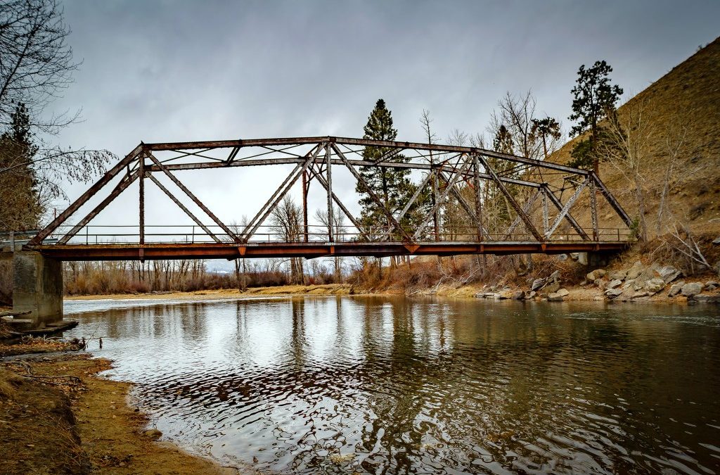
Old Darby Bridge in Feb 2016, upper Bitterroot River
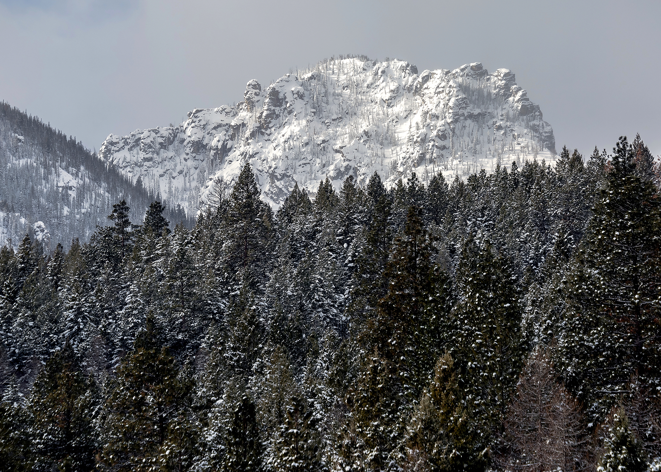
Totem Peaks to the south of Bear Creek Canyon in Bitterroot Mountain Range, MT IMG_0179
Below are Snowtel data maps for Montana in Feb. You can see that our snowpack has increased in the last two weeks. Great news.
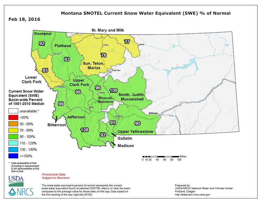
Feb 18, 2016
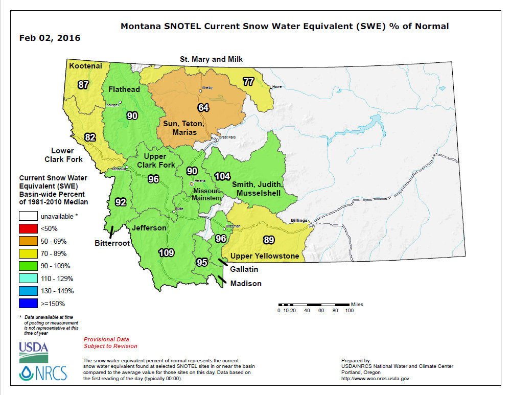
Feb 02, 2016
