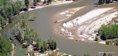
Jack added some captions to the slideshow. This coming week is going to be hot! The snowpack will be coming off in a hurry! Stay tuned. Here are some photos from Jack’s flight over the Bitterroot River on May 22, 2009. It is not in flood stage but definitely in run-off. The photos begin near Woodside, travel downstream (north) to MacClay’s near/north of Poker Joe, then turn and head back upstream (south) to finish near Darby.
The Bitterroot River from the Air – Aerial Photos